Field Note: Using GIS and Remote Sensing to Access Water in the Drought-Prone Areas of Ethiopia and Madagascar
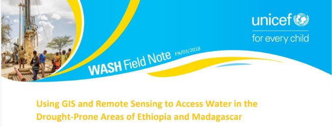
The document discusses the water crisis in Eastern and Southern Africa, highlighting Ethiopia and Madagascar’s challenges with water scarcity and drought. It details UNICEF’s use of remote sensing (RS) and Geographic Information Systems (GIS) to improve groundwater exploration and drilling success rates in these regions. The approach combines satellite technology with hydrogeological data to create groundwater suitability maps, leading to more efficient and cost-effective borehole drilling. The document outlines the positive outcomes of these projects, such as increased drilling success rates and improved access to safe water, which enhances community resilience to climate change. Key lessons and future steps for scaling up these initiatives are also discussed.